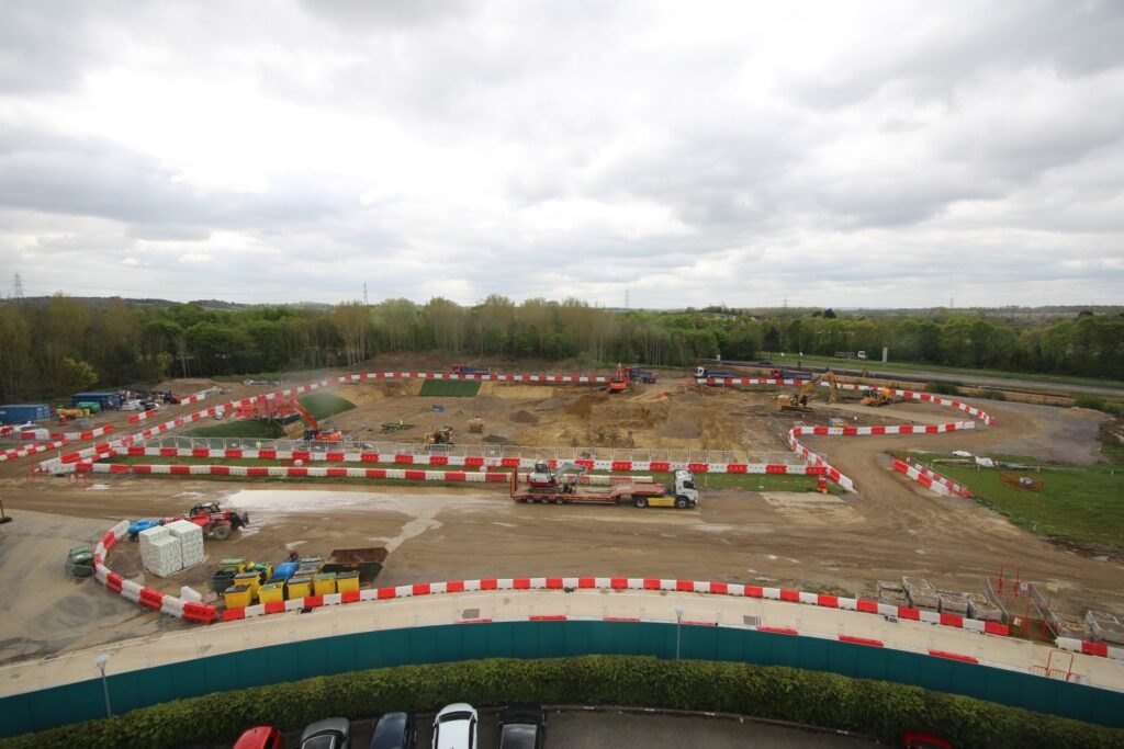
We are delighted to see the works progressing on site on the latest development at The Oxford Science Park. The Daubeny Project will deliver around 400,000 ft2 of new laboratory enabled office space within the Plot 23-26 land parcel, on the western side of the Park. CampbellReith has been working closely with the Oxford Science Park for over 30 years and have already helped deliver 14 new buildings on the site including external works and site wide infrastructure.
This latest scheme comprises three new multi-storey buildings with undercroft car parking and extensive landscaped pedestrian areas. Insitu reinforced concrete superstructure frames are supported on post tensioned concrete raft foundations bearing onto the Beckley Sand Member. Rigid inclusions have been locally adopted to limit the building settlement where Alluvium is present. Inclined steel columns are expressed from ground level to second floor level to create a distinctive feature within the glass and metal clad façade.
The terraced site and inclusion of undercroft carparking and raised landscaped podiums resulted in drainage exiting the building at multiple levels across the site. This made the drainage design challenging and was overcome by splitting the site into two catchments, one draining the part of the site at higher elevation and one draining the lower. An additional drainage system was also included beneath the undercroft car park to drain this part of the building. Given the significant level changes across the site, surcharging of the drainage system needed to be thoroughly considered, where necessary non-return valves were added to keep surcharging water away from sensitive parts of the building.
Sustainable drainage systems (SuDS) also feature prominently across the site with the inclusion of permeable paving, blue roofs and a large detention basin. These features were considered in detail during the pre-planning and detailed design stages to see that they were fully utilised within the drainage design to reduce flood risk to the wider site and the watercourse beyond.
A particularly challenging aspect of the scheme was securing planning permission in terms of flood risk given the proximity of Littlemore brook and the site elevation adjacent to it. Detailed hydrological analysis of Littlemore Brook was undertaken to enable maximum likely water levels on site during a flood scenario. This enabled the site levels to be developed with flood risk in mind which helped to alleviate the Local Planning Authorities concerns.
The project programme is phased to allow construction to commence prior to diversion of a series of Thames Water strategic rising mains that bisect the site and handle significant foul flows for the population of Oxford. The CampbellReith geotechnical team designed and managed a series of investigations to gather information on these key assets including a combination of non-intrusive geophysical methods such as ground penetrating radar and electromagnetic location techniques as well as hand-dug exposure pits to physically confirm the depth of the assets and to allow non-destructive testing to be undertaken.
This detailed information on the assets’ 3D alignment, geometry and condition allowed detailed ground movement modelling to be undertaken using state of the art software and in-house design techniques to demonstrate that construction works can take place in close proximity to these critical assets whilst demonstrating that the resulting ground movements and vibration fall within limits acceptable to Thames Water. Ground movements and vibration are continuously monitored on site to establish that recorded values fall within the predicted thresholds. This detailed modelling has added value to the client and has facilitated programme savings by unlocking key parts of the site prior to the diversion of the mains.
This exciting project is due for completion in 2027.
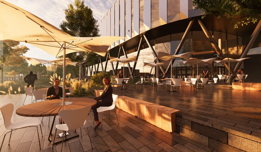
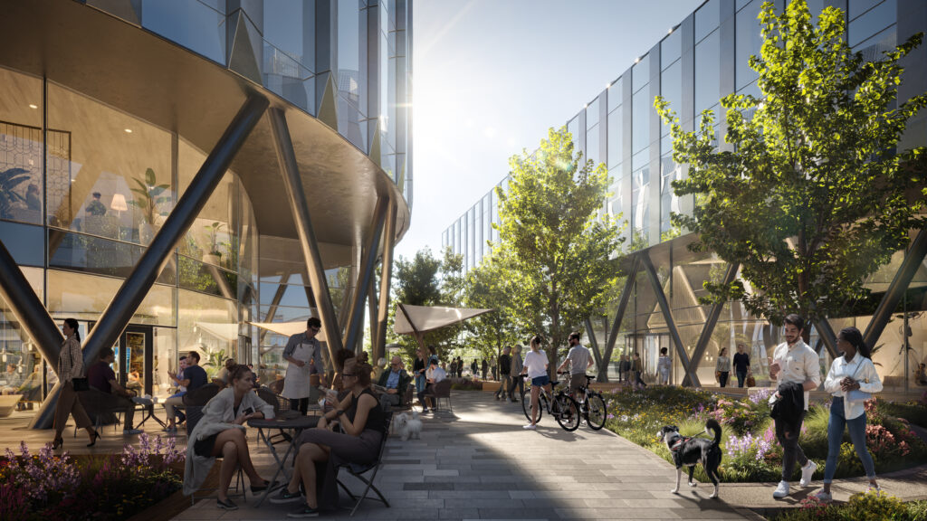
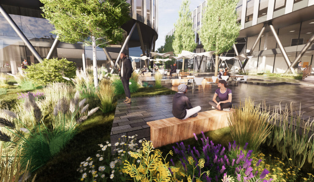
Images provided courtesy of Scott Brownrigg.